"The Drawn City -Looking at Panaroma Maps-" Exhibition
Sakai City Museum
This event has ended.
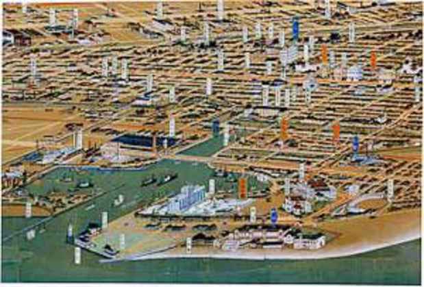
The exhibition will feature panoramic maps from 16th century Europe that depict the geographical location through vibrant colors and details. These maps had a strong influence on Japanese maps, especially the urban maps produced by Hatsusaburo Yoshida. Other maps on display include Japanese panoramic maps, and antique European maps.
Guided Tour (in Japanese)
Date: 04/22/2007 (Sat) 14:00- (will take around 30 mins)
*Please be present at the gallery, free with admission.
Media
Schedule
from March 03, 2007 to May 06, 2007